THE DRAINED + FILLED LANDSCAPE OF WASHINGTON, D.C. | Cut and especially fill operations were integral to the city's development. The cross hatch above designates areas of "artificial fill... low-lying land filled for building purposes, determined from examination of historical topographic maps and a report and map by Froelich and Hack (1975)," according to a 1995 geological survey of the District of Columbia.


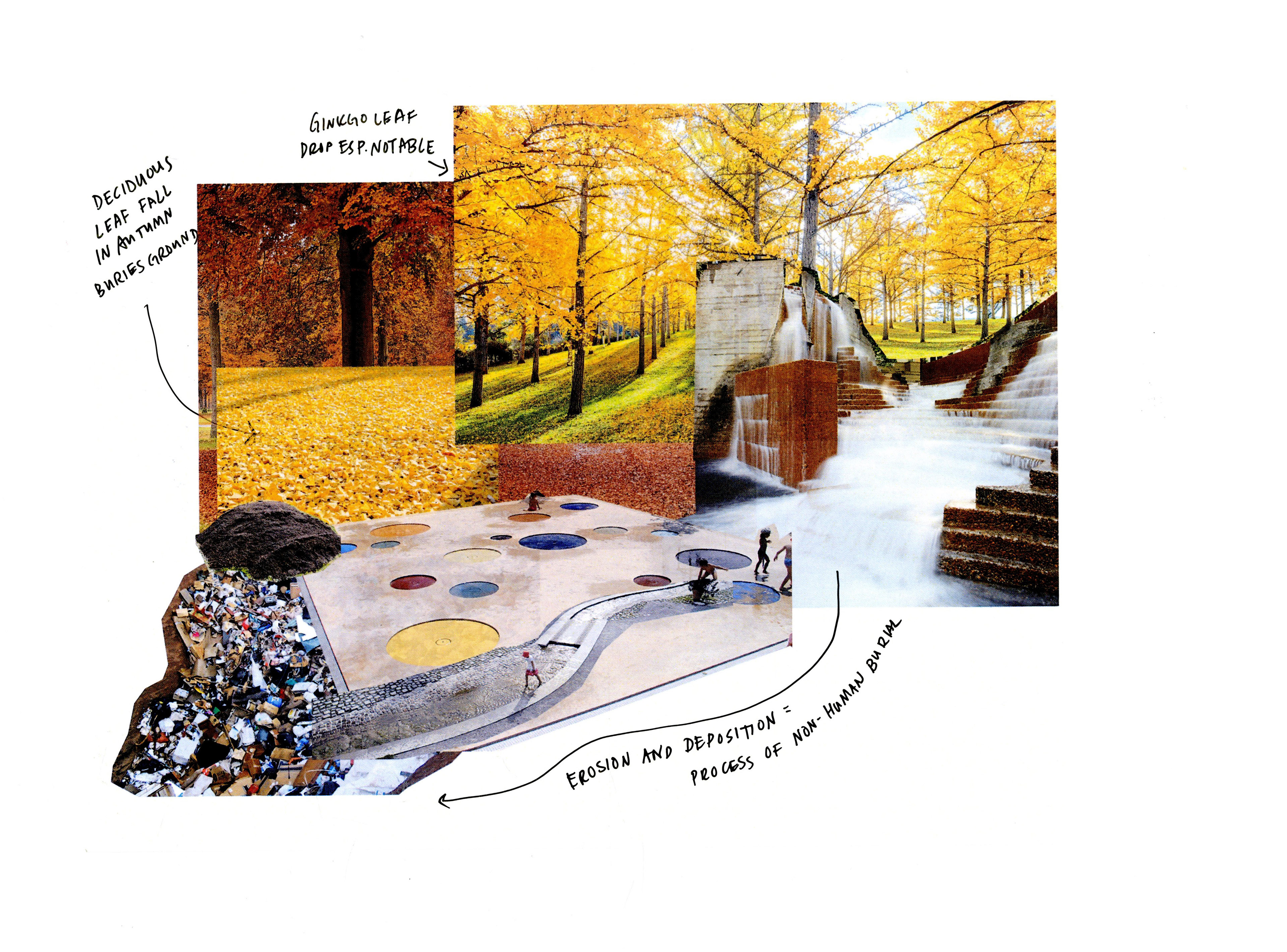

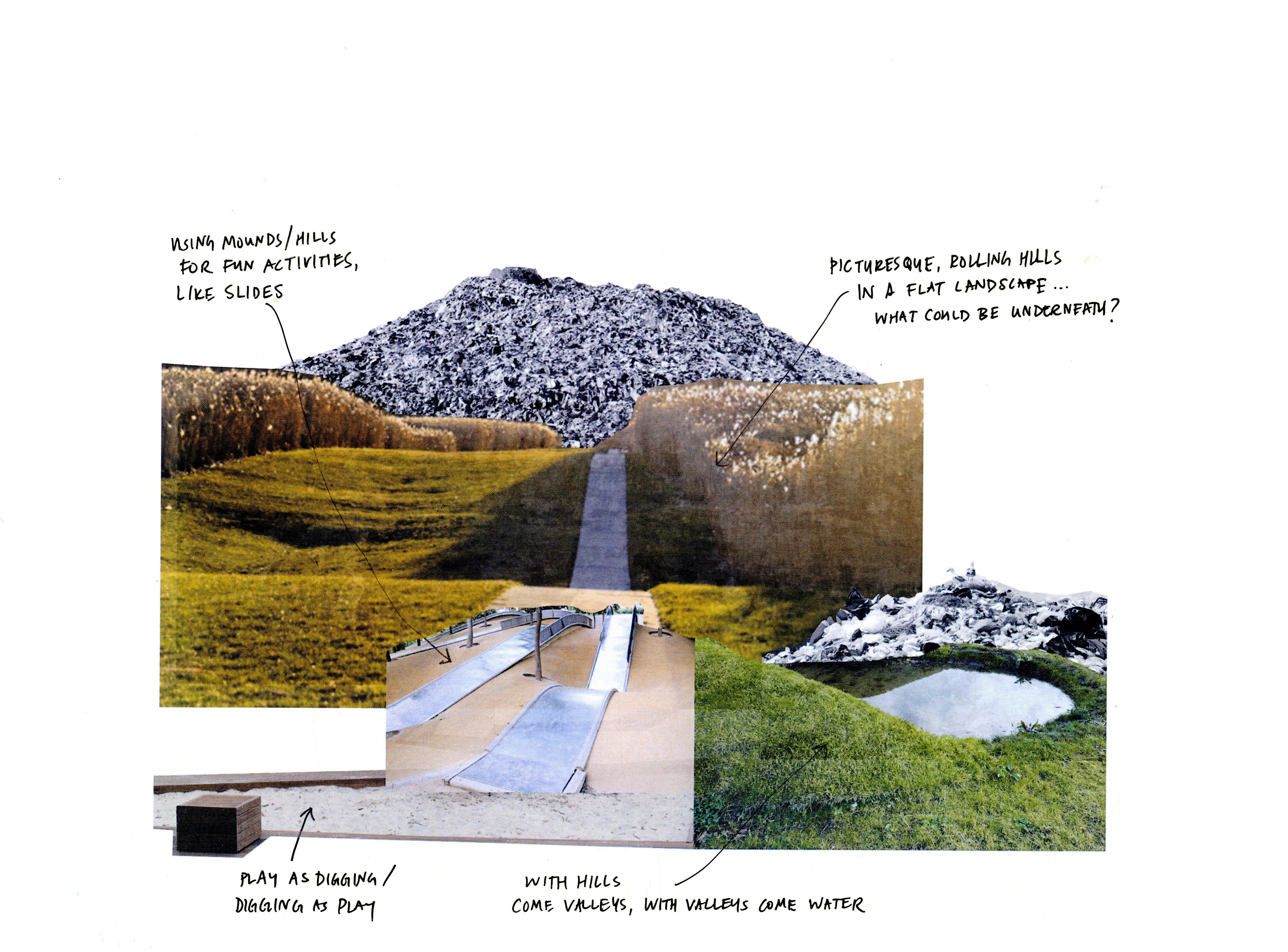
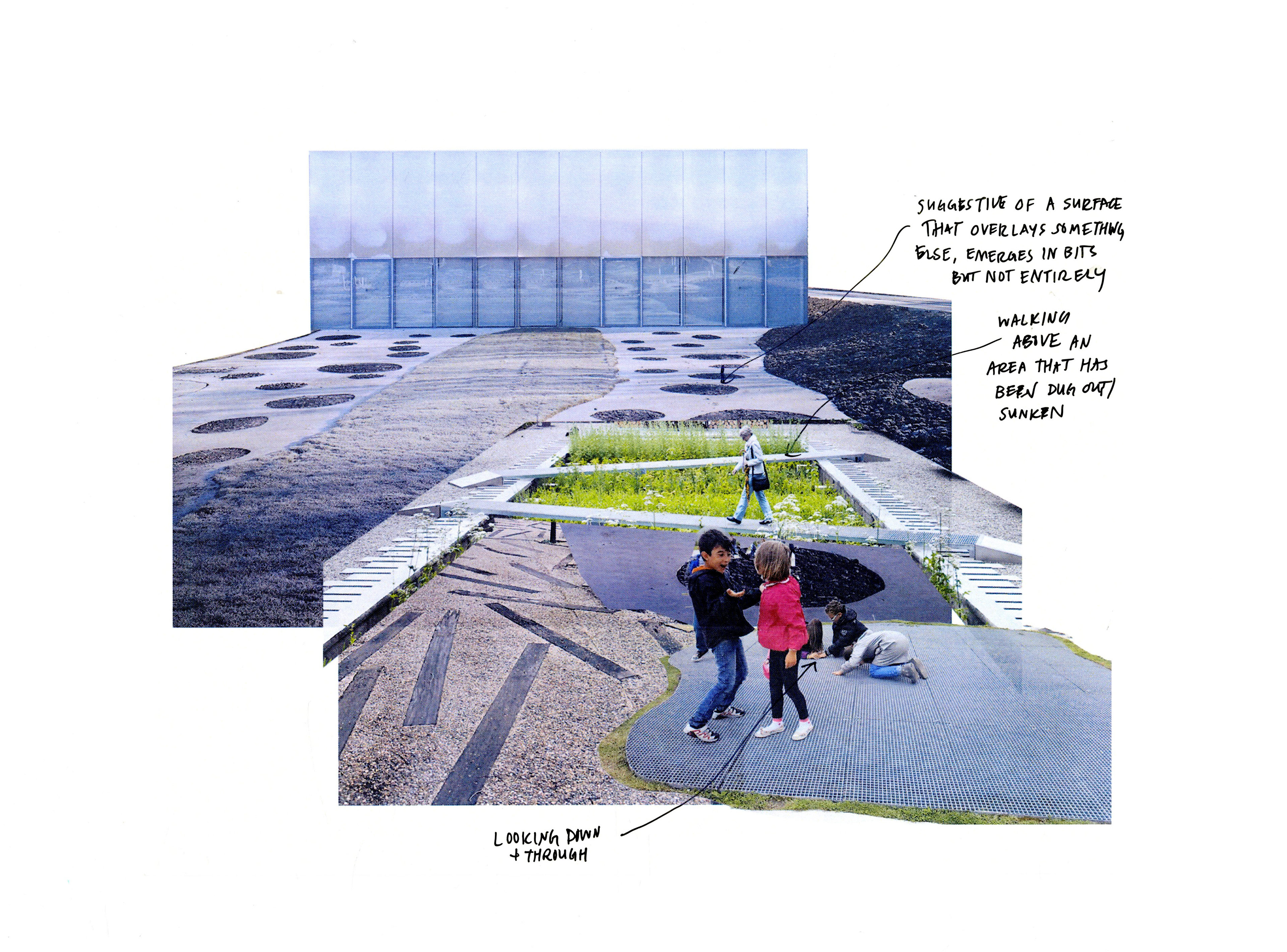
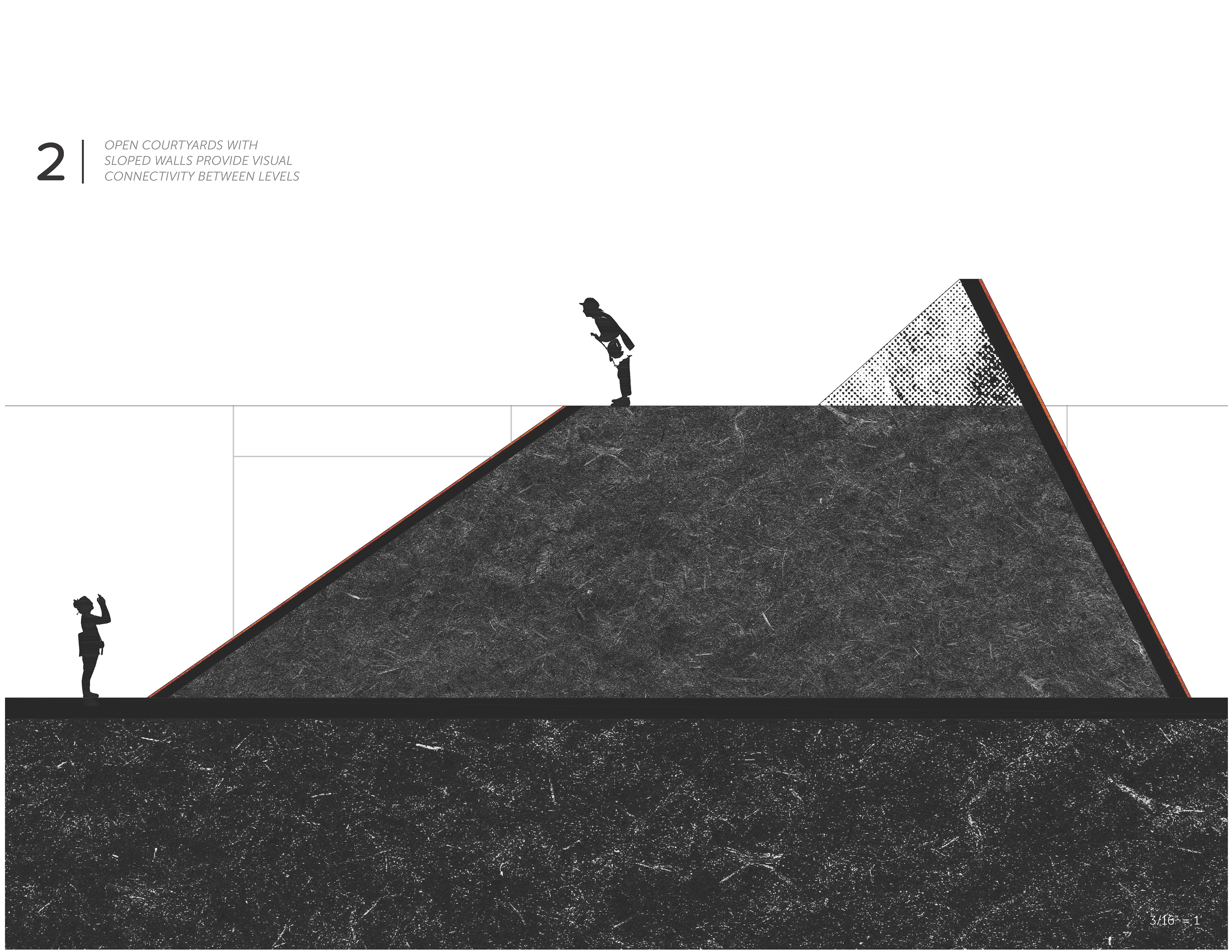
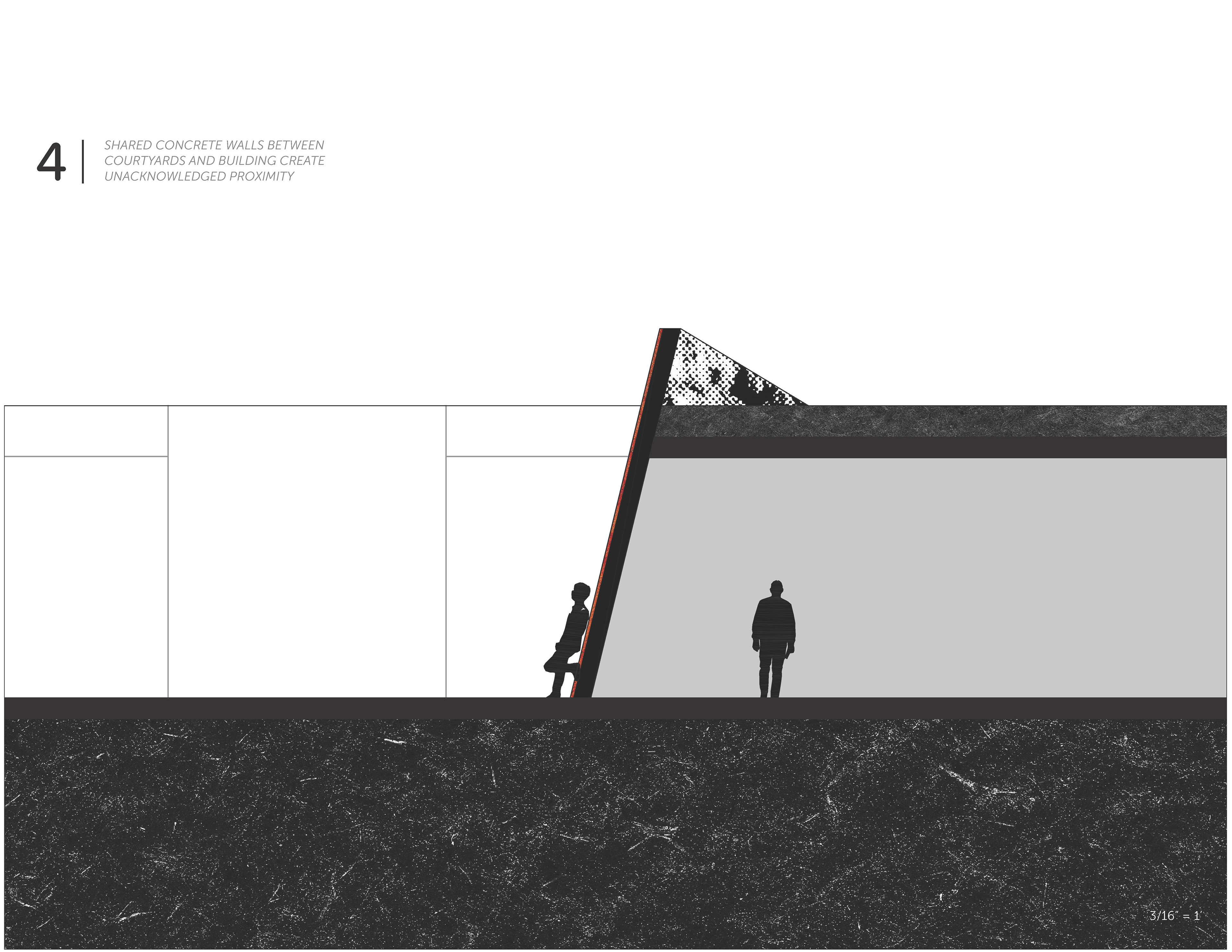
ABOVE + BELOW | Parallel worlds of the museum exist above and below ground.
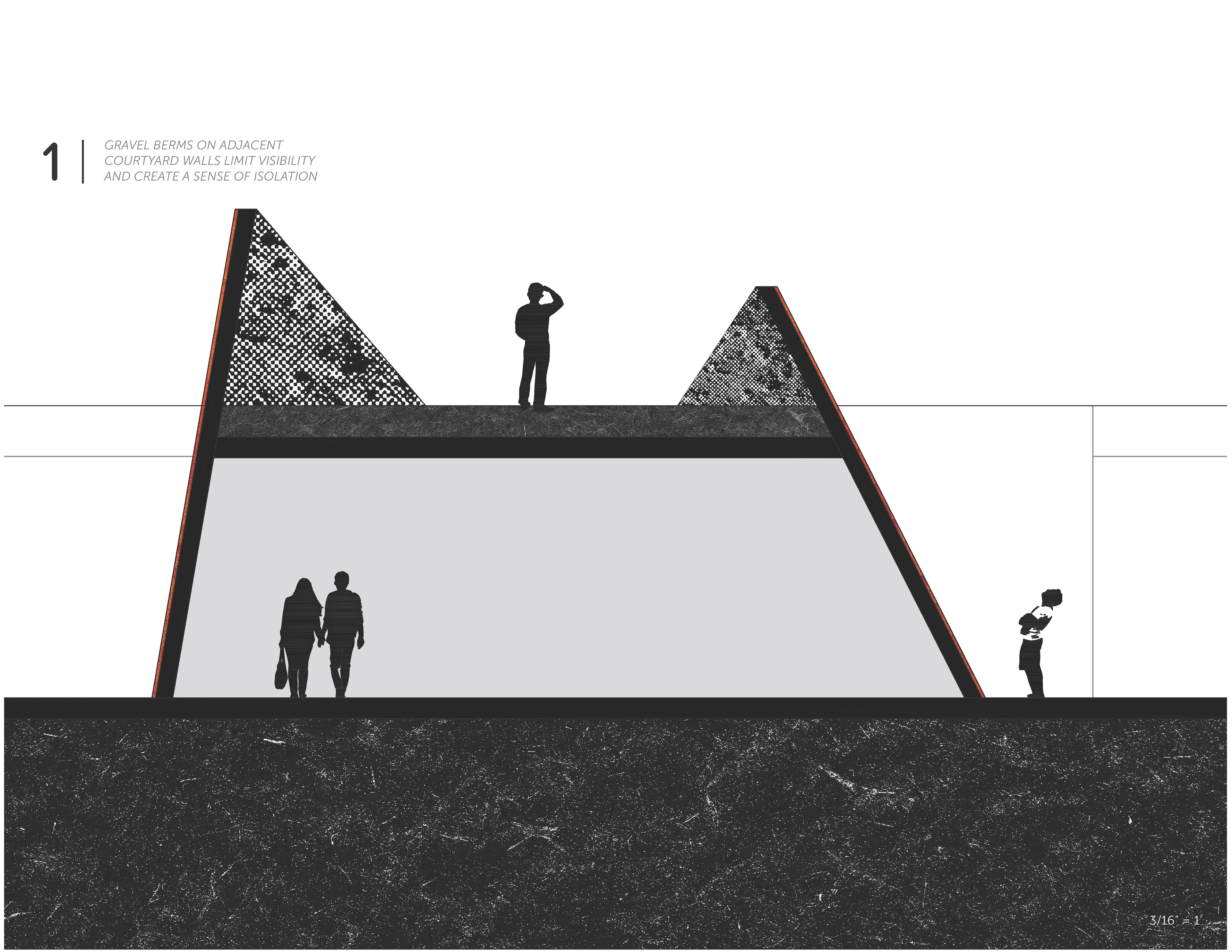

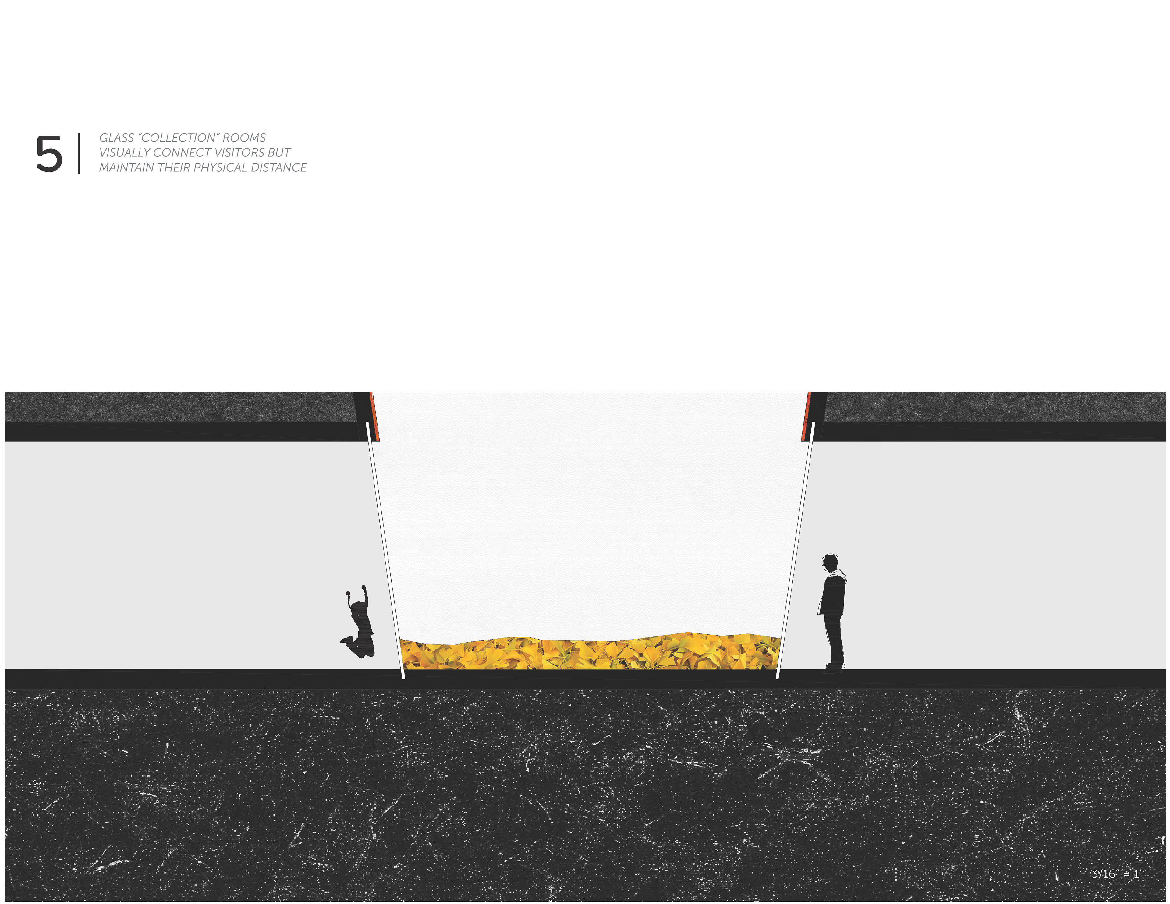
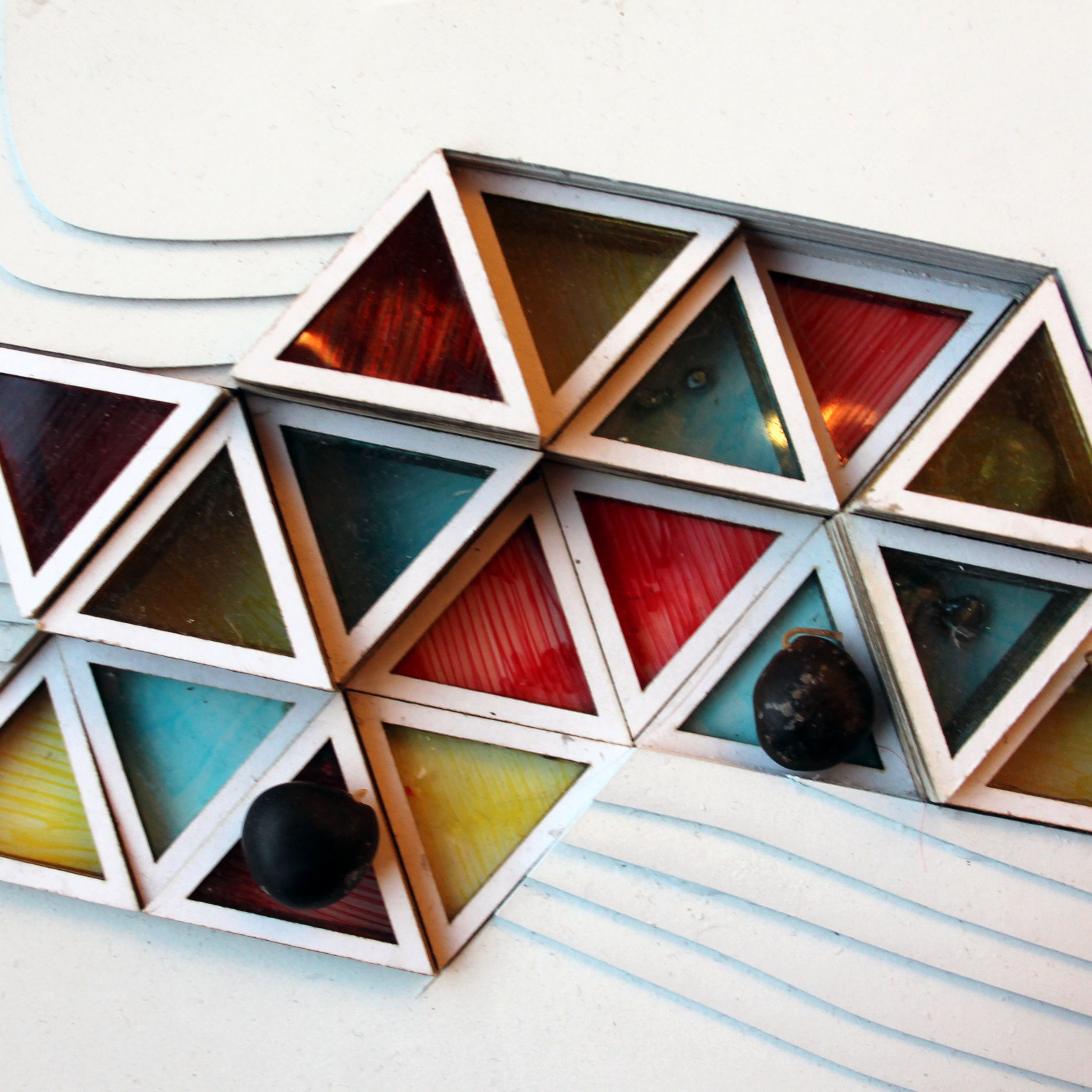
SEASONAL DISPLAYS | Glass-walled display cases capture and accumulate "burial material," highlighting seasonal changes and the process by which ground is made.
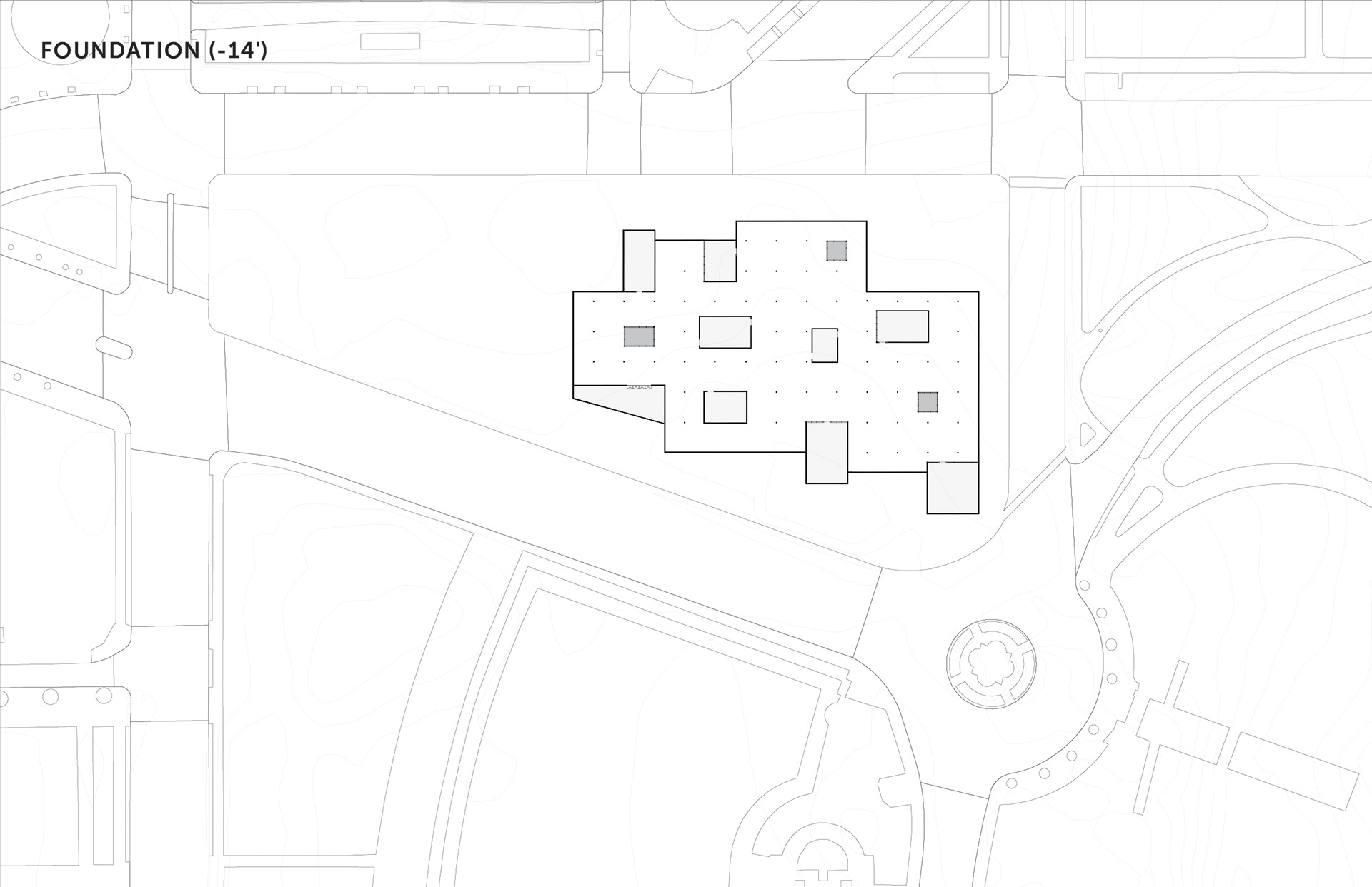
LONG SECTION | Section revealing the underground highway that runs beneath the western portion of the site.

